A BLM (Bureau of Land Management) allotment management plan (AMP) is a document that outlines how a particular area of public land, known as an allotment, will be managed by the BLM. The purpose of the plan is to ensure that the resources on the allotment, including grazing lands, wildlife habitat, and water sources, are used in a sustainable way that balances multiple uses and benefits.
The management plan typically includes several key components, such as:
- Grazing management: The plan will outline how the grazing resources on the allotment will be allocated among different users, including ranchers and wildlife. It will establish grazing seasons, rest periods, and monitoring protocols to ensure that the grazing is sustainable and does not degrade the quality of the range.
- Wildlife habitat management: The plan will identify key habitats for sensitive species and outline management actions to protect and enhance those habitats. This may include restrictions on grazing or other activities in certain areas to minimize impacts on wildlife.
- Watershed management: The plan will address how water resources on the allotment will be managed to ensure that they are protected from degradation and available for multiple uses. This may include measures to reduce erosion, control runoff, and protect water quality.
- Recreation management: The plan will address how recreational uses on the allotment will be managed to ensure that they do not conflict with other uses or degrade the natural resources. This may include the development of trails, campgrounds, and other facilities to support recreational activities.
- Monitoring and adaptive management: The plan will establish monitoring protocols to track the condition of the allotment over time and assess the effectiveness of management actions. This will allow for adjustments to be made as necessary to ensure that the resources on the allotment are being managed sustainably.
Overall, a BLM allotment management plan is a comprehensive document that aims to balance the needs of multiple users and ensure that the resources on the allotment are being used in a sustainable way for future generations.
The 2007 AMP for the Saval ranch established the following use areas. They do not directly correspond to pastures
A BLM (Bureau of Land Management) use area is a designated portion of public land that is managed by the BLM for a specific use or activity. Use areas can include areas designated for grazing, mining, recreation, wildlife habitat, and other uses.
The total of the Saval ranch use areas is 388,639 acres. This does not include private ground
Buffalo Fire Rehabilitation Seeding Use area – 2,550 acres
Buffalo Valley Use area – 176,886 acres
Buffalo Valley Use Area – Google Earth select project from hamburger menu
Fish Creek Use area – 42,260 acres
Jersey Hi Use area – 8,145 acres
Jersey Valley Use area – 45,931 acres
McCoy Use area – 61,422 acres
Tobin Use area – 51,445 acres
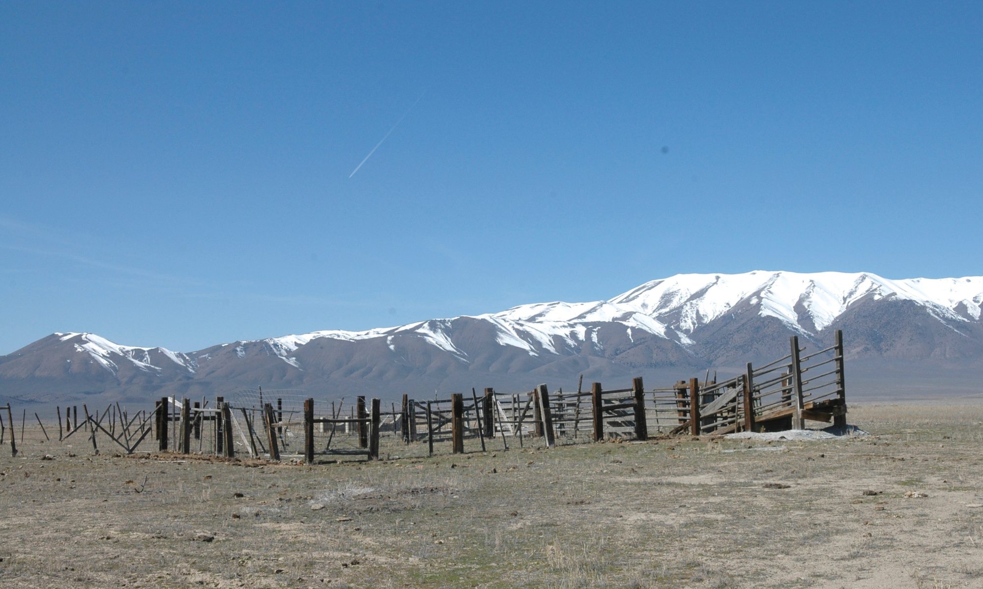
A BLM (Bureau of Land Management) pasture is a designated area of public land managed by the BLM for livestock grazing. Pastures are contained within use areas.
BLM pastures are typically designated based on the characteristics of the land, such as the soil type, vegetation, and topography. The BLM works with the Saval ranch to determine the appropriate number of livestock that can graze in a particular pasture while still maintaining the health and productivity of the land.
To ensure that grazing is sustainable and does not degrade the quality of the range, the BLM uses a variety of management practices, including:
- Grazing rotations: The BLM uses a system of grazing rotations to ensure that livestock are moved from one area to another to allow vegetation to recover and reduce the impacts of grazing on the land.
- Monitoring: The BLM monitors grazing areas to assess the health of the range and identify potential issues before they become significant problems. This includes monitoring the condition of the soil, vegetation, and water resources, as well as tracking the number of livestock on the range.
- Water development: The BLM may develop water sources, such as wells, springs, and tanks, to ensure that livestock have access to water while grazing.
- Range improvements: The BLM may also make range improvements, such as installing fences or implementing weed control measures, to improve the health and productivity of the range.